

|
|
|
||||
|
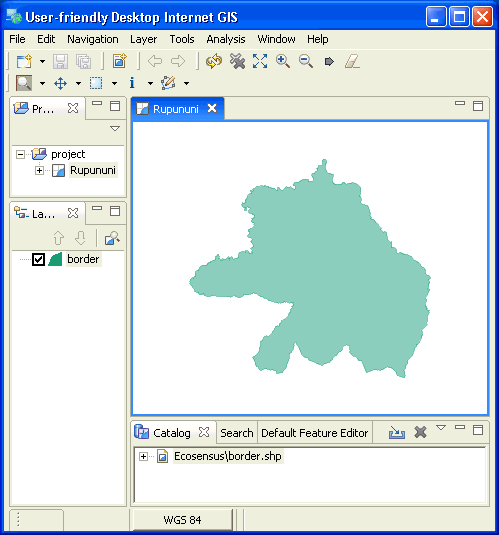
uDig The User-friendly Desktop Internet GIS (uDig) is a desktop application framework that brings together internet, database and file-based spatial data into an easy-to-use, visual GIS program. It is an open source spatial data viewer/editor, with special emphasis on the OpenGIS standards for internet GIS, the Web Map Server and Web Feature Server standards. uDig provides a common Java platform for building spatial applications with open source components. Below is an example screenshot from uDig showing a map of the Rupununi region of Guyana:
 For more information go to the uDig website. |