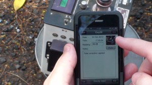
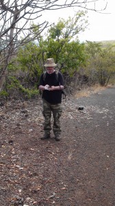
Today saw a successful trial of the iPhone application in the field using the BGAN.
ERA
No ERA work performed today
iPhone
A successful trial of the iPhone application was completed today. The BGAN was used to frog leap a WiFi internet connection down the Coyotes trail in order to achieve this.
Thanks to Tullio Esposito, an EarthWatch volunteer who took the photographic and video evidence of this trial.
The first setup of the BGAN was with a signal strength of 50.2 on 3 satellites with the router placed on a rock as no high point was available. With this setup the iPhone app jumped into life showing our current location depicted by a blue dot surrounded by a small pulsing circle indicating the device was receiving up to date GPS information and the pins of the currently known reading locations.
A test was then performed on the range of the WiFi down the path that had some tight bends in it resulting in various signal distances.
From three consecutive points the distances were:
It is not an ideal solution to make the application work using the BGAN in this manner as it is laborious to frog leap the BGAN along the path. However having the signal available has proved the app is a viable concept as long as the map data is cached on the device thus removing any need for network connectivity.
I have noted a number of amendments that need to be added to the app such:
Full video of the trial plus BGAN and router setup will be posted soon. I will also post the details of how the app exported the data which was then opened for access using the FireFox SQLite Management tool.
The trial was in my opinion as a success and the spectators seemed to agree!
Personal
Today was a very long hard day spent walking 4KM up and down the Coyotes trail leaving little room for much of a personal entry.
We had dinner at a restaurant up as we did last Tuesday.
I have no photos to add here and can only say it was a really long hard tiring day and resulted in an early night!


